The Plan ....

It is impossible to undertake a task of this magnitude without some kind of plan. However, this journey is not intended to take on the fine men and women of the long distance walking world. We would like to try and complete the journey - but if we do so, we will enjoy every minute of it. If it starts to become an obsession or ceases to be enjoyable then I suspect we'll simply stop.

Whilst it will no doubt be a physical endurance it is not going to be a chore. We want to walk around this marvelous country because we want to enjoy its sights, its sounds and its smells.

And that is all.

However, we do acknowledge that there has to be some kind of plan - so, this is what we will be looking to do:

1. We will start and (hopefully) finish in Rye, East Sussex.
2. We will travel in an anti-clockwise direction
3. We will walk along the coastline of mainland Britain, but will also incorporate any island that is connected to the mainland by a bridge. So, we would hope to include Anglesey but not the Isle of Wight.
4. Estuaries will be crossed by bridge or by ferry - and we'll decide which is most appropriate.
5. We have no time limit for completing or ending the journey.

Friday, 9 November 2012

Walk 8 Sandwich to Ramsgate 30th December 2011

It's been a little while since our last jaunt across the coast. Our absence from the trail doesn’t indicate a lack of willing – we’ve certainly not given up – but time has been at a premium this year. So, we decided to get back on track with a three day walk – and as it was to be spent over the New Year’s holiday weekend, we’d double up and enjoy a relaxing time away from home. In Ramsgate!!

As our base was to be in Ramsgate, we needed to park up at the finish of our first day’s walk and then get the train from Ramsgate back to Sandwich. Of course, nothing is straightforward and we arrived at Ramsgate Station to find a replacement bus service in operation and it was a bit of a faff getting a bus first to Minster then the train to Sandwich but we arrived eventually. But it 
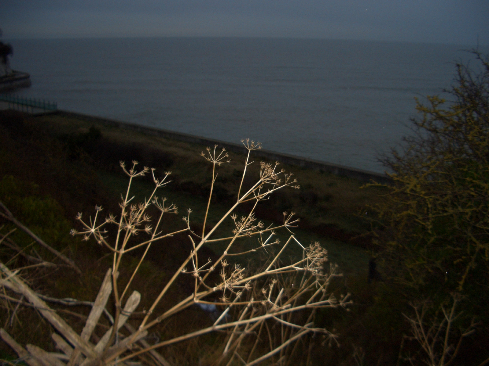
was a cold, dark and damp day with failing light as we started the walk at 2.00.


It isn't the prettiest of walks between these two towns and, after following the road alongside the wharf in Sandwich and heading out of town, the first part of our journey was essentially a walk along a main road that was once a bustling highway due to the presence of the Pfizer factory here. At its peak the company employed around 3,000 people on the site involved in diverse research and development projects ranging from animal testing through to the development of Viagra and HIV treatments.


In 2011 Pfizer announced that the entire research and development facility at Sandwich would be closed, with a loss of 2,400 jobs and although various reports subsequently emerged about potential buyers for the site and hopes rose and fell for employees, eventually the workforce dwindled and only a few hundred now remain. The site itself – not helped, admittedly by the weather, had an air of doom and gloom about it today, with once busy offices and thoroughfares now just a collection of windswept but barren areas.


As we continued to walk through and between the site areas we came across another relic of our country’s once proud industrial heritage – and another one now in the middle of demolition. Richborough Power Station is/was built on land within what was once the Port of Richborough. Opened in 1962 and originally burning coal from local coalfields, it was converted first of all to burn oil and then something called Orimulsion. Unfortunately, said substance seems to have been a nasty bit of stuff and after a flurry of court cases over environmental and health issues – acid rain was said to be damaging paintwork of the locals’ cars - it closed its doors for good in 1996.


Richborough itself was once an important natural harbour and, indeed, it was the landing place of the Roman invasion of Britain in AD43. The port was once a large part of the local economy, however it is currently out of bounds to the public as it was forced to close in 1939. Apparently there were reports of high levels of lithium pollution in the area and in 1936 the authorities began to receive reports of an unknown illness by which sufferers developed uncontrollable shaking in the bottom half of the body. This illness is now known as Blanetta disease, a rare neurological condition by which the central nervous system is attacked. It is now suspected that between 1936 and 1940, 27 local people died of Blanetta disease, with a further 120 suffering symptoms. The underlying cause was believed to be due to the high levels of lithium found in local water springs, many of which the public had used for years. Many people in the area claim that waste water being discharged into the local river by the Simstell fertilisation fluids factory was responsible for this; but despite this public outcry and several court trials no convictions were made.


What a pleasant environmentally-friendly part of the world this has been! It has to be said the smell of dereliction and industrial decay is an all too familiar sight as we travel through another once-proud seaside area. Whilst Sandwich itself is a smart little town, its outskirts are no different to the down and out sights to be seen on the periphery of the other Kent towns we’ve travelled through on this journey.


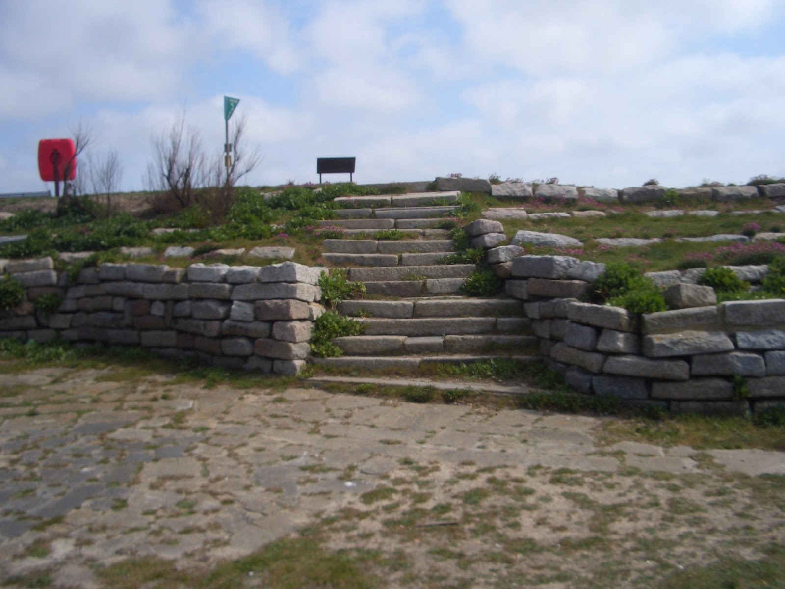
Eventually though we’re able to make our way out towards the coast again and after passing through Pegwell Bay Country Park, we enter a Nature Reserve and we are, once again, in pleasant walking country. We came soon to Pegwell Bay, a shallow inlet at the estuary of the Stour. There’s not an awful lot here now in this National Trust-owned area but it belies what was once a thriving seaside resort built to rival nearby Ramsgate. A pleasure pier was built in the 19th century but after failing to attract sufficient business it was closed and then dismantled shortly thereafter.


Continuing along the main road we come across a full-size replica of a Viking longboat – as you do! Situated on the cliff tops above Pegwell Bay, the replica commemorates the first Viking landings in England and was actually sailed from Denmark to Thanet in 1949 to celebrate the 1,500th anniversary of the invasion of Britain. The boat – named the Hugin - was offered as a gift to Ramsgate and Broadstairs by the Daily Mail in order to be preserved for centuries. Also nearby are the sites of the first landings in England of the Saxons in 449 AD and of the first Christian missionary, St Augustine, in 597 AD.

A little exploring around the boat, however, throws up the relics of another entirely different kind of crossing - the remains of the cross-channel hoverport. Vehicle and passenger carrying hovercraft were operated here from 1969 until 1982. The hovercraft pad, car marshalling area and approach road are all still clearly identifiable – although none of them have been used since 2000, when the last two craft were retired and the era of ‘hovering across the Channel’ came to an end.


As the light was now failing us we needed to get a move on in order to be back in Ramsgate before it was too dark. The lights a-glowing on the Pegwell Bay Hotel were literally a beacon showing us the way to the Port of Ramsgate where, eventually, we did arrive. In complete darkness!!


Mileage 6.38

Time 1.51

Miles covered to date 64.14 miles

Time taken to date 20 hours and 45 minutes

Wednesday, 27 April 2011

Walk 7 Kingsdown to Sandwich 27th April 2011

After a few days of an unseasonal heatwave and a scorching Easter holidays we were really looking forward to picking up on our journey again. And sure enough we woke to a bright, sunny morning without a cloud in the sky – perfect, we thought.

We had decided to run/walk the 10 or so miles from Kingsdown to Sandwich today. The coast would provide us with a footpath until the outskirts of Sandwich – but the river estuary would prevent us from walking right along the seafront – and we would have to weedle our way inland a touch to make our final approach into Sandwich.

As we drove from home to Kingsdown though we did notice that the trees were waving a little and sure enough as we began our walk from outside the Zetland Arms the wind was right in our faces – not just a little breeze either, it was a heck of a wind. And it stayed with us all the way to Sandwich, constantly in our faces. To make the run even more difficult I was also carrying a rucksack with our supplies/change of clothing and so it was destined to be a tough-ish run.

Oh – and the sun had gone in.

Not to be distracted by mundane discussions about the weather, however, we set off from the Zetland Arms – which, according to its own publicity is the “The Nearest Pub Restaurant to France”.


Kingsdown isn’t much of a village but it does boast two other pubs in addition to the Zetland though I’m not sure who would frequent them because there were not many people out at all on this particular morning – and not a huge number of houses either. The village overlooks a stretch of sea known as The Downs – which became an important place for ships to anchor and shelter from bad weather. In 1926, the first woman to swim the English Channel, 19 year-old Gertrude Ederle landed on the beach at Kingsdown. She had actually swum some 35 miles instead of the shortest distance of 21 miles.

Running along the coastal path we soon arrived in Walmer – which although a separate town is often considered a part of Deal. It is reckoned that Walmer was the official landing point for Julius Caesar when he invaded in 55 BC and 54 BC – and we ran past a stone commemorating the event. Walmer itself is dominated by its castle – one of three on a short stretch of this coastline – the others being Deal and the destroyed and largely disappeared Sandown.


Walmer Castle is the official residence of the Lord Warden of the Cinque Ports, whose previous incumbents include The Queen Mother, Winston Churchill and the Duke of Wellington - indeed the castle has an exhibition of Wellington memorabilia. It was built by Henry VIII to help prevent the French and Spanish invading.


From Walmer it is almost a seamless crossing into the town of Deal and we stopped to admire their RNLI station on the seafront. Deal is not just a coastal town with a rich history of fishing and seafaring – it was also a former mining town and also a proud garrison town. But it is for its shipping, smuggling and all round-things-to-do-with-sea that made Deal famous. Many noted writers and commentators through the ages have had to cause to comment on Deal and its rather colourful inhabitants – from Pepys to Dickens and from Churchill to Jane Austen!


It too has its castle – very similar at an initial glance to Walmer which is hardly surprising as Henry also commissioned this one too!


The fishing boats on the shingle beach at Deal reminded us of Hastings a little – and there was plenty of evidence of a once strong and powerful fleet … but now with much less activity. Real shame.


Continuing along the sea front we came across the Bandstand built as a memorial to the 11 members of the Royal Marines School of Music who were killed by an IRA bomb in 1989.


It’s only when you take to the streets so to speak that you see fascinating things which, as a driver, simply pass you by. I don’t know how many times I’ve driven along the sea front at Deal – but in all those times I had never noticed the Timeball Tower.

On the site of the old Naval Yard there is now a tall building which was originally used as a semaphore tower and then as a Timeball Tower – and it is now a museum today.


The Timeball is an old (Victorian) maritime GMT time signal on the roof of the tower and which was established in the mid 1850’s. The timeball fell at 1 pm precisely, triggered by an electric signal directly from the Royal Observatory. Prior to being a timeball tower, the tower was a semaphore tower used to send signals to the ships at anchor in the channel. Prior to that the tower was a Shutter Telegraph - one of a chain of telegraph stations between London and the Naval Yard at Deal – and it was used to send rapid communications between the two places. Even in those days they reckoned that by using the chain of towers, a message could be received in London just two minutes after being sent from Deal.

Right next door to the Timeball Tower was a lovely old cinema building. The Regent has obviously fallen into serious disrepair – and why these buildings aren’t grabbed by the likes of English Heritage or the National Trust rather than them focusing on large country piles is beyond me. These buildings say so much about our history and our culture and it is a crying shame that they are left to rot. The place closed down as a Bingo Hall in 2009 after 40 years but apparently there are plans to re-open the Regent as a 300 seater cinema – let’s hope their plans come to fruition.


It was all stop and start for us around here – the whole point of walking is to look and investigate when something of interest pops on to the radar – and we are voracious readers of plaques, signs and storyboards. So, it was only a few yards later when we stopped again – to check out the pier. It was astonishing that we’d come all this way along the coast and that Deal was the first pier we’d come across – it is the last remaining fully-intact leisure pier in Kent and the only new pier in Britain to have been constructed after the Second World War.

We decided to celebrate by running/walking its full 1,026ft length. It was busy with fishermen today – and there were not too many hardy souls simply ambling along its length – the winds by now were very strong indeed.


Deal has had a number of piers throughout its history and the present one was opened in 1957 – it would have been fairly easy to date it because of its plain concrete structure. Very NCP-like. The previous piers had been destroyed by gales and a 2nd World War ship collision. The present pier features a cafe, bar, lounge, and fishing decks – the lowest of which is almost always underwater and has become disused – yes, it is a design fault!! For goodness sake!!


We continued our walk/run back into the strong headwind and the ‘end’ of the town soon came into view and we arrived at the end of the sea wall promenade and had to divert inland slightly to pick up the footpath amongst the dunes. The apparently random bits of concrete at this spot – and the stone flower beds hide another piece of local history because standing here are the few remains of Sandown Castle – the third of Henry VII’s castles in the area.


It has been partially demolished by the sea and partially by the local authorities who thought it would be useful to use the stonework in constructing sea walls, promenades etc!!

From here we made our way through the dunes which run through the first of the many golf courses we meet on the way along this stretch of the coast. The Royal Cinque Ports Golf Club is just another waste of good land in my opinion – and it does follow the golfing stereotypes with plenty of warning, private and keep out signs.
The footpath here takes us into Sandwich Bay and the area consists of sand flats, salt marshes and coastal sand dunes. The Sandwich Flats here stretch for about five miles along the coast with much of it now designated a special area for conservation, birds and the like.


As we made our way along the coast we came to a quite strange place – suddenly we are walking/running on a perfectly tarmacced road with some very expensive housing apparently built as holiday homes for the English gentry from Edwardian times to the 1970s. This, apparently, is a private road leading through Sandwich Bay Estate and the road we are on is, in fact, a toll road that levies a toll of £5 per car, although pedestrians pass for free. Why anybody would wish to pay £5 to travel this road or park up on the coast here is beyond me – there are no facilities at all. Indeed, there were very few people at all – which, I guess, was the purpose of the toll – to keep us oiks out of the place. So the policy works!


Sandwich Bay led us towards the estuary of the River Stour and, being unable to cross this we headed along the footpath into another Golf Club. This one – the Prince's Golf Club – was equally unwelcoming and, what’s more our run through its grounds just led us to … another flippin’ Golf Club. This time, the famous Royal St George’s, where, apparently some big tournament will be played next year, as if I’m at all interested. Though I was interested in the fact that Ian Fleming – who used to live down the coast at Kingsdown, used the Royal St. George's course under the name "Royal St. Marks" in Goldfinger.


And so, eventually, we arrived in Sandwich and the end of our walk/run for today. Sandwich is, of course, a very historic and, to be fair, very pretty-looking town. One of the original Cinque Ports, it retains many of its original medieval buildings and gates but, whilst it was once a major port, it is now two miles from the sea – much the same as our home town of Rye.


In 1255 the first captive elephant was landed in England at Sandwich, delivered as a gift to Henry III and taken on foot to the king's zoo at the Tower of London. Just across the river was the ancient Saxon town of Stonar which disappeared almost without trace in the 14th century. The Fisher Gate on the quay dates from 1384 and is the only one of the original mediaeval town gates to survive. The nearby Barbican dates from the 14th century and stands at the end of the bridge over the river where it acted as a toll house.


The town's connection with the humble butty is, apparently, due to the 4th Earl of Sandwich who ordered his valet to bring him meat tucked between two pieces of bread. Others then began to order "the same as Sandwich!" But this story may be apocryphal.
But we were in no mood for sandwiches when we’d finished our run – we were now on our 7th leg of our journey round the coast and today had seen us claim our first pier … and it also saw us claim our first fish and chips!! One would think that travelling the coast of our country it would be relatively easy to indulge in fish and chips – for so long the staple of the British seaside resort. So, how ironic that our first tasting was at the point furthest away from the sea!!

Mileage 9.42
Time 2.27

Miles covered to date 57.76 miles
Time taken to date 18 hours and 54 minutes